1
Fossils underfoot
Some of the slabs contain marine fossils. Keep an eye on the stones as you head down.
National Monument · 3.3 miles on foot
Stone upon stone between Barichara and Guane: a trail first opened by the Guane people, traveled by the Spanish, and paved by 19th-century trade.
1 / 11 · Mile 0
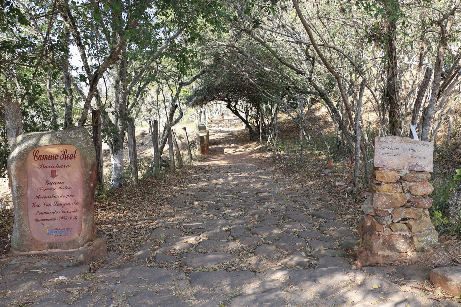
The trail leaves from the upper part of Barichara, near the Santa Bárbara chapel.
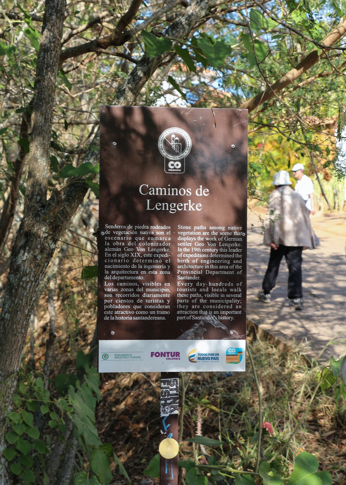
2 / 11 · A German name
Signs along the way honor Geo von Lengerke, the German merchant who turned it into a freight route.
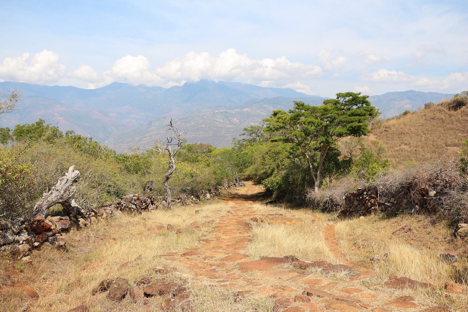
3 / 11 · The descent
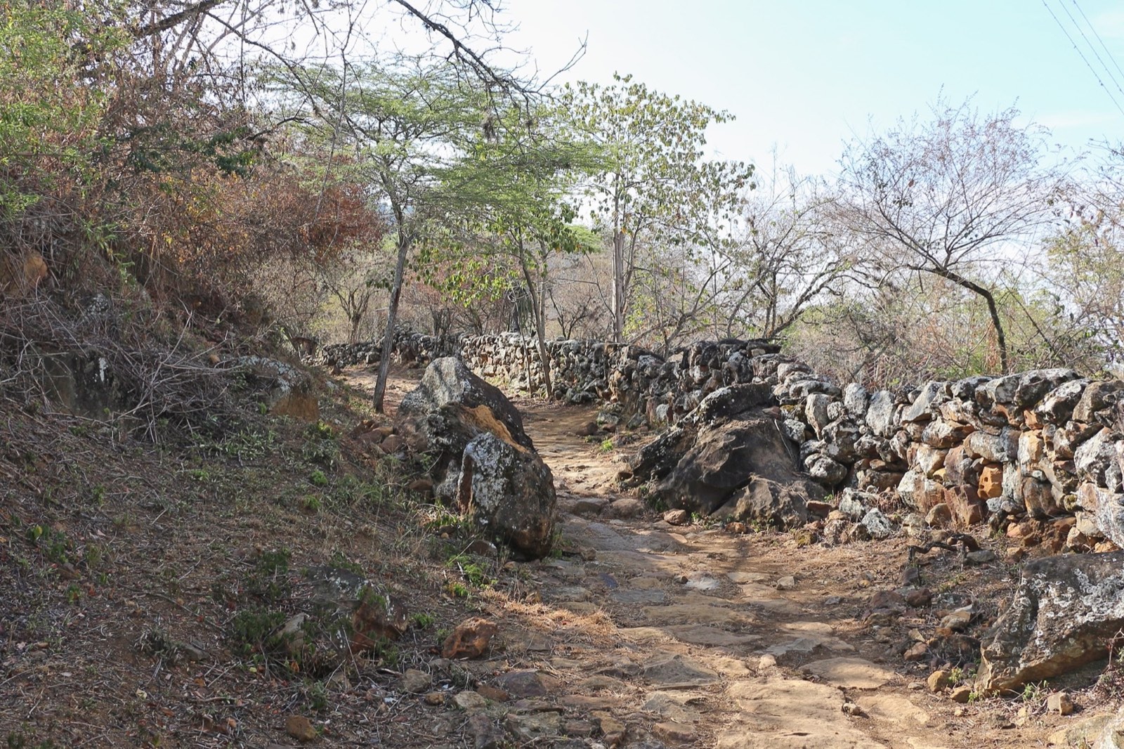
It’s built from flagstones, a material that’s plentiful in the region.
4 / 11 · Stone walls
Walls of stacked stone line the trail.
5 / 11 · The landscape
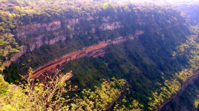
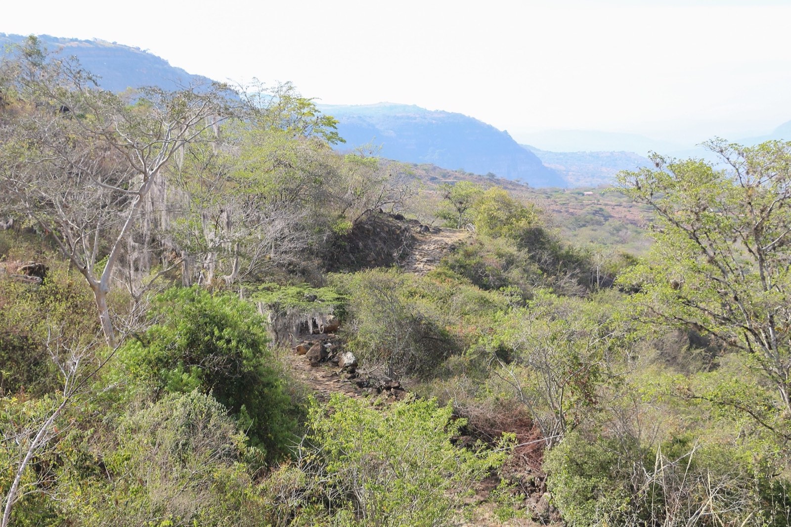
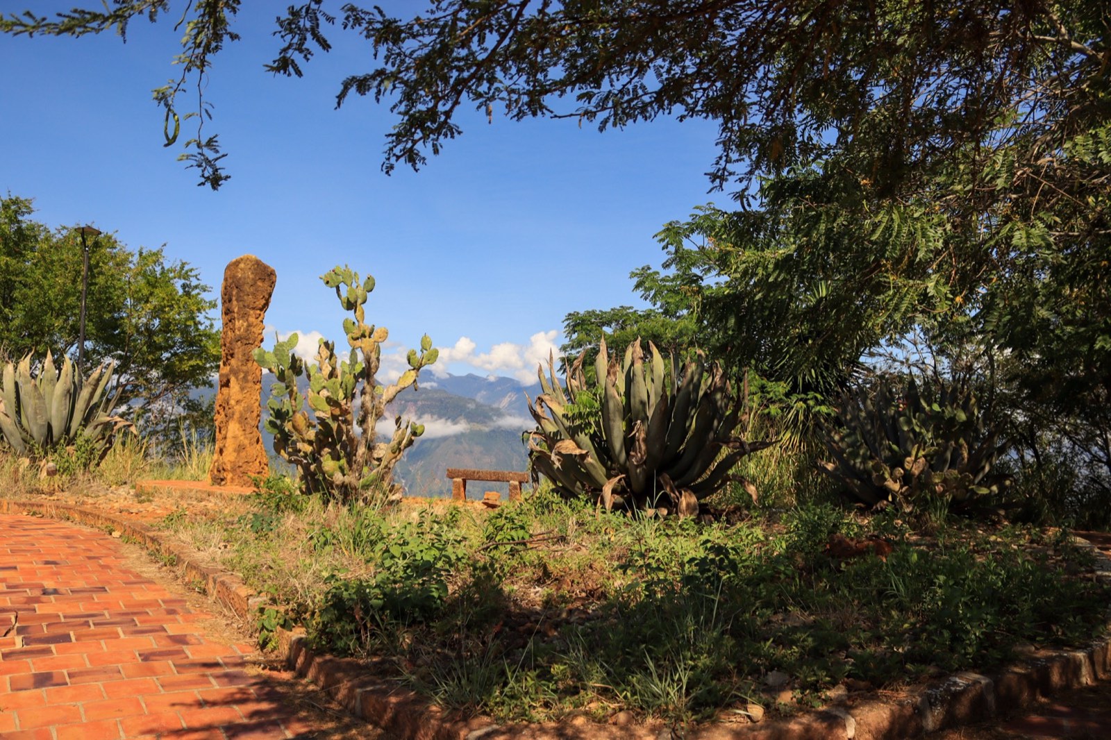
As you descend, the valley opens up toward the Suárez River canyon.
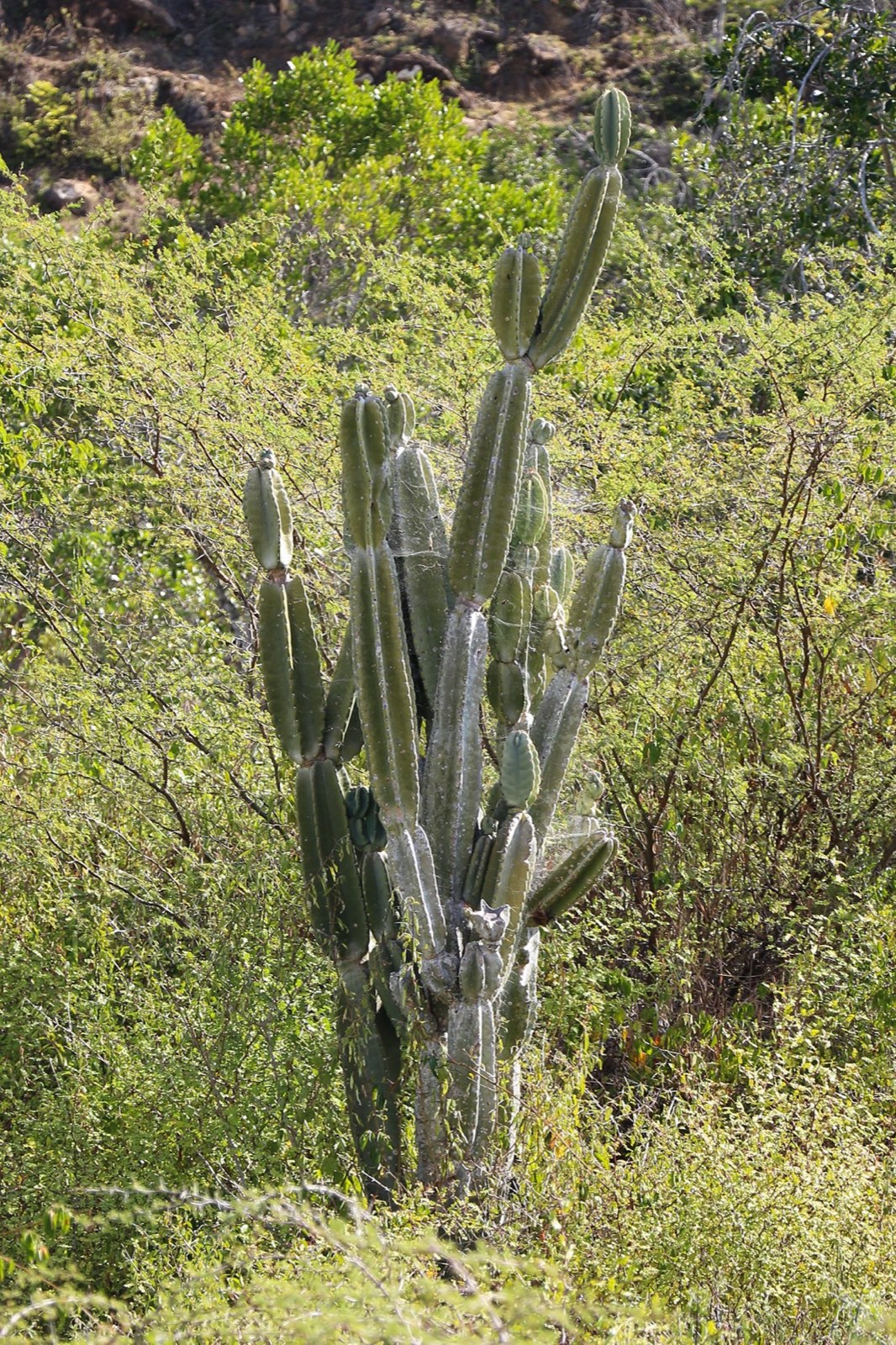
6 / 11 · Dry forest
This is dry forest: cacti, shrubs, and lots of sun.
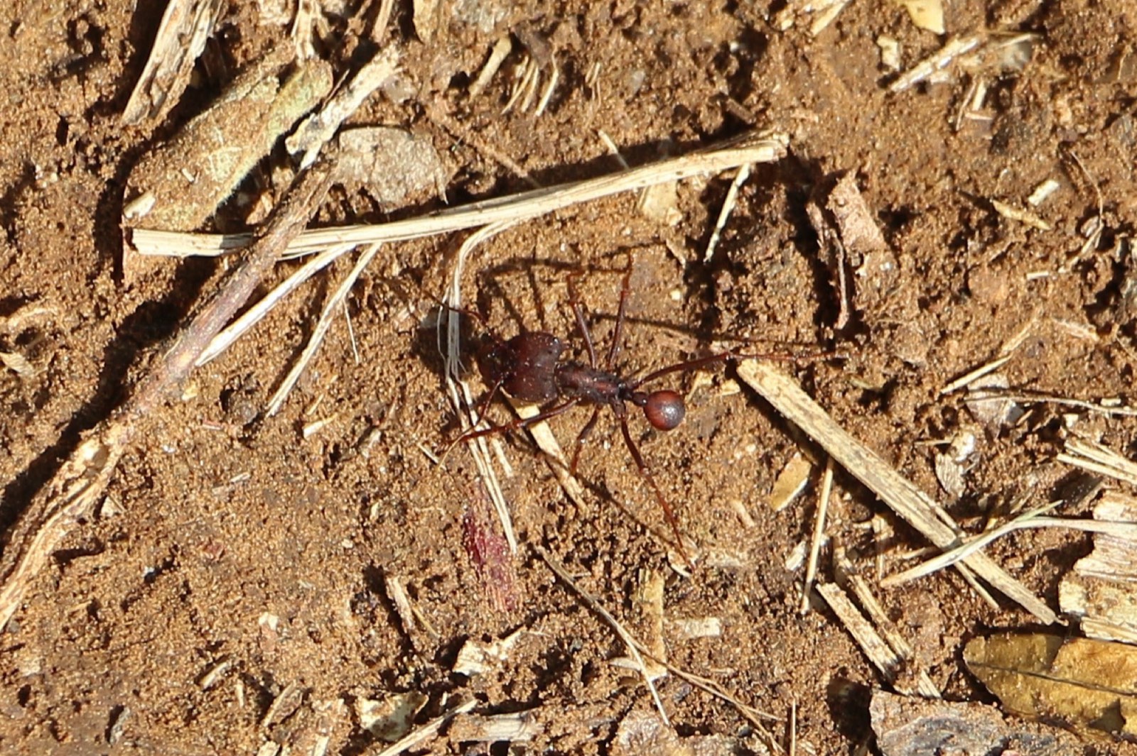
7 / 11 · Locals
Leafcutter ants—Santander’s famous hormigas culonas—cross the trail.
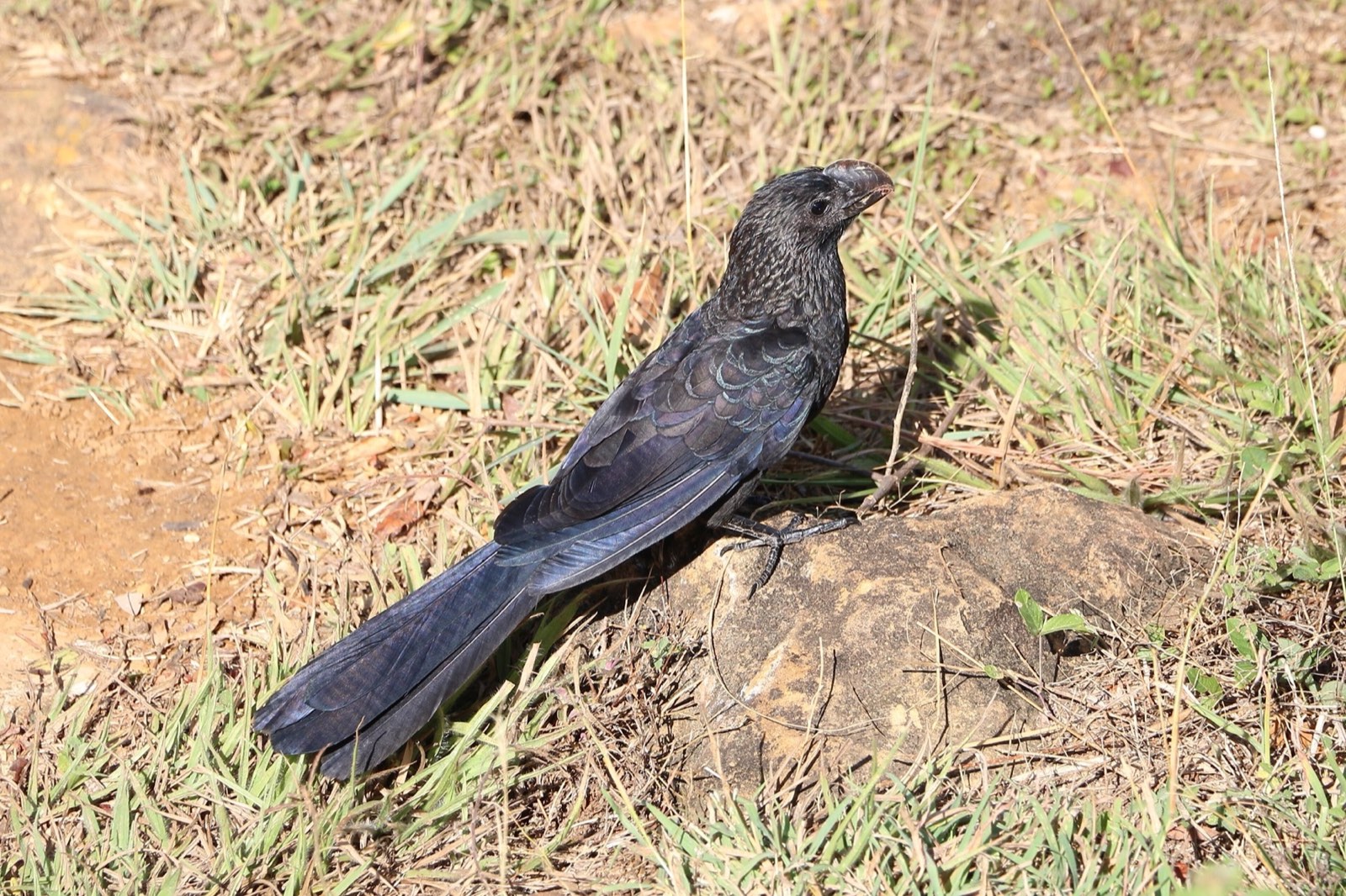
8 / 11 · Company
Smooth-billed anis and other birds keep you company on the walk.
9 / 11 · Fossils
Some of the trail’s stones still hold marine fossils.
10 / 11 · The arrival
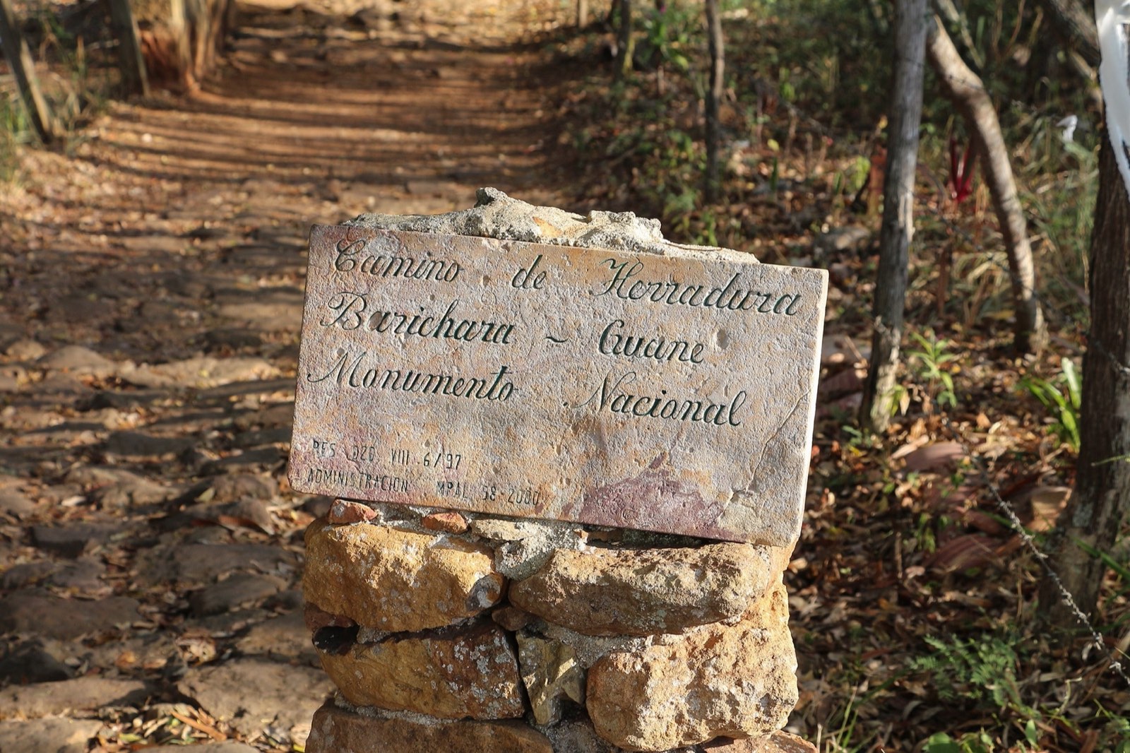
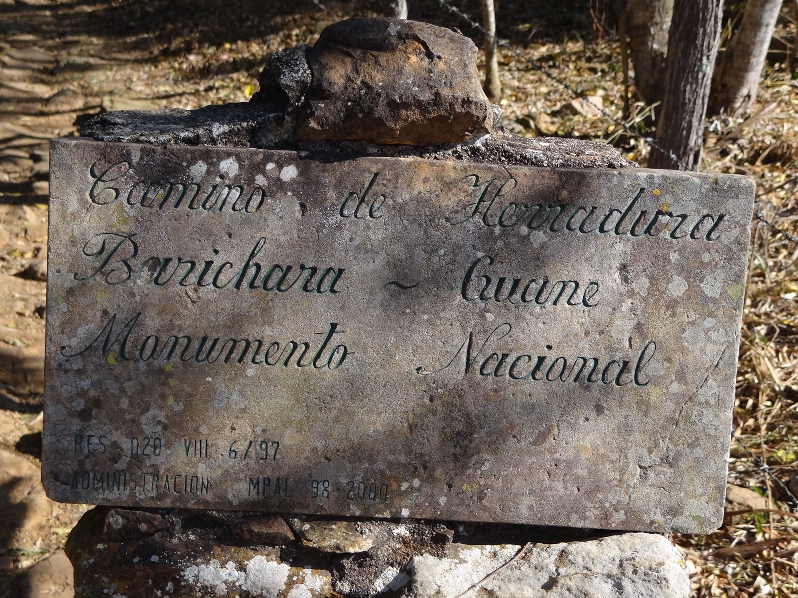
A plaque greets hikers: the trail has been a National Monument since 1977.
11 / 11 · Guane
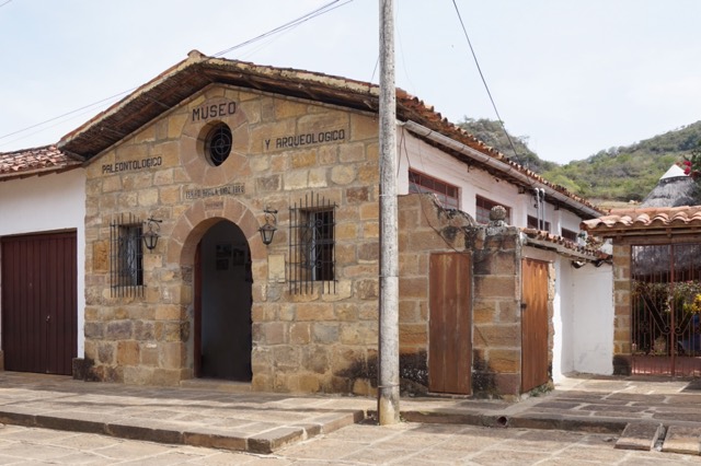
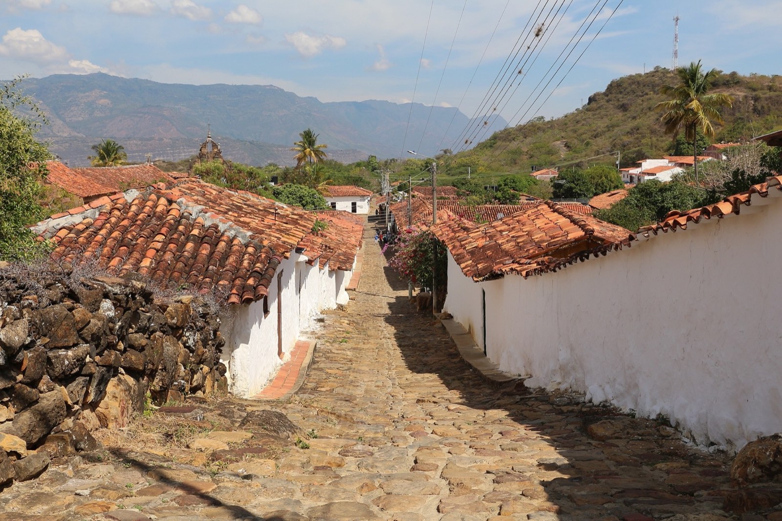
The trail ends in Guane, a village that feels frozen in time.
Good to know
It’s 3.3 miles (5.3 km) of paved trail—about two to two and a half hours on foot—between Barichara and the village of Guane. It’s a National Monument and one of the most beautiful hikes in Colombia.
Indigenous history
The trails in this region were originally laid out by the Guane people, who lived here and used them to trade and travel between their settlements.
Guane, the village at the end of the trail, was once called Móncora. Today its Archaeological and Paleontological Museum preserves objects from that culture: pottery, necklaces, and funeral urns.
The name Barichara also comes from their language, where it means “a place to rest.”
Spanish history
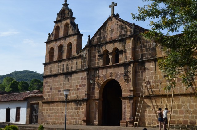
After the conquest, these paths were used by the colonizing troops. In 1622 Guane became a parish when it split off from Vélez, and in 1786 its Santa Lucía church was completed—considered the country’s first Indigenous mission chapel.
For centuries, people, pack animals, and the life of the whole region moved along these trails.
Geo von Lengerke
Around 1860, a character straight out of a novel arrived on these trails: the German Geo von Lengerke. According to travel accounts, he had come to Colombia around 1852, fleeing justice at home after a duel, and became the most prominent merchant in the area.
Lengerke pushed to turn these trails into trade routes to ship out goods like tobacco, cotton, cinchona bark, hats, and gold. He’s credited with the paving we see today, from around the 1860s.
His name lives on: signs along the trail refer to the “Lengerke Trails,” and from Guane the historic route continues on to Zapatoca under his name.
Why it matters
The Camino Real was declared a National Monument in 1977 and restored in 1988. It’s one of Santander’s most significant heritage routes, both for its Indigenous origins and for its role in the region’s economic history.
And it hides a surprise: some of its stones still contain fossils, a reminder of when this area lay under the sea.
History
The Guane people lay out the trails linking their settlements.
Spanish colonizing troops use the trails.
Guane, formerly Móncora, becomes a parish after splitting off from Vélez.
Geo von Lengerke arrives in Colombia.
According to travel accounts; we haven’t found an official document confirming it.
Lengerke turns the trails into trade routes for tobacco, cotton, cinchona bark, hats, and gold.
The Camino Real is declared a National Monument.
The trail is restored.
Stories and fun facts
Some of the slabs contain marine fossils. Keep an eye on the stones as you head down.
Lengerke reportedly came to Colombia fleeing after a duel. He ended up leaving his name on Santander’s trails.
Where hikers walk today, mules loaded with tobacco and cinchona bark once passed.
It’s easy to spot leafcutter ants on the trail—Santander’s famous hormigas culonas, a local delicacy when toasted.
Gallery
Tap a photo to see it full size.
On video

Camino Real Walk, Barichara – Guane (4K) · Virtual Trip on YouTube. A full walk-through on foot, so you can preview every stretch before you go.
Location
The green line is the trail as mapped on OpenStreetMap. This map is for reference only—follow the signs on the ground.
Camino Real Barichara – Guane (OpenStreetMap route)Lengerke Trail toward Zapatoca (continues beyond)
Message us and we’ll help you plan your visit to the Camino Real and pair it with other spots in Barichara.
Message us on WhatsAppKeep exploring
Sources
We only share what we could verify. When sources disagree, we say so. Accessed October 1, 2026.
cr-01: Bernard Gagnon · CC BY-SA 4.0 · Wikimedia Commons
cr-02: Bernard Gagnon · CC BY-SA 4.0 · Wikimedia Commons
cr-03: Bernard Gagnon · CC BY-SA 4.0 · Wikimedia Commons
cr-05: Bernard Gagnon · CC BY-SA 4.0 · Wikimedia Commons
cr-07: Bernard Gagnon · CC BY-SA 4.0 · Wikimedia Commons
cr-09: Bernard Gagnon · CC BY-SA 4.0 · Wikimedia Commons
cr-10: Bernard Gagnon · CC BY-SA 4.0 · Wikimedia Commons
cr-ani: Bernard Gagnon · CC BY-SA 4.0 · Wikimedia Commons
cr-cactus: Bernard Gagnon · CC BY-SA 4.0 · Wikimedia Commons
cr-hormiga: Bernard Gagnon · CC BY-SA 4.0 · Wikimedia Commons
cr-llegada: Kamilokardona · CC BY-SA 3.0 · Wikimedia Commons
cr-sarmiento: K.sarmientorojas · CC BY-SA 4.0 · Wikimedia Commons
gu-calle1: Bernard Gagnon · CC BY-SA 4.0 · Wikimedia Commons
Licenses: CC BY-SA 4.0, CC BY-SA 3.0, or public domain (CC0), depending on the photo.